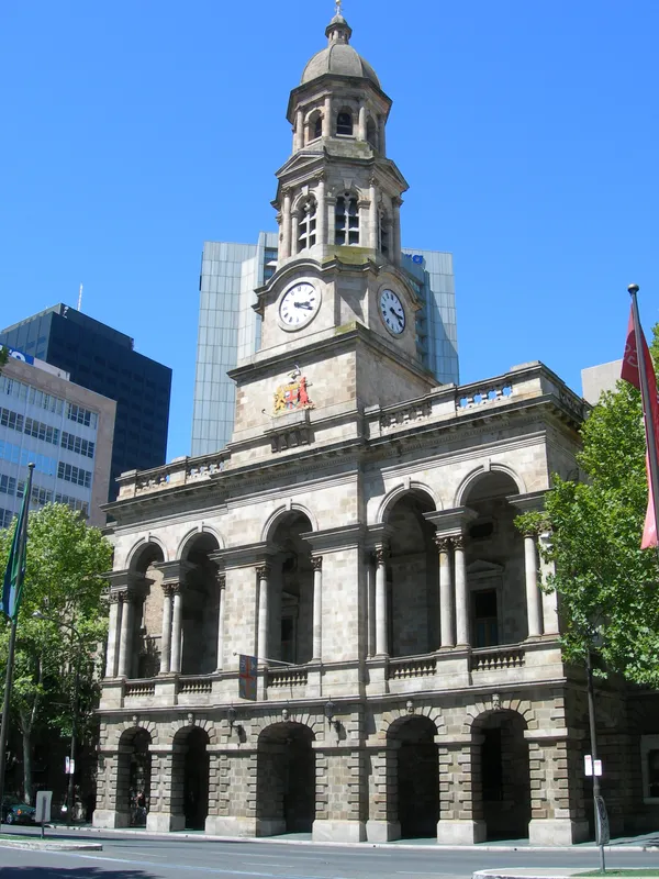
Adelaide Sizzles: Mid-30s Heat and Scattered Clouds Expected for Tuesday
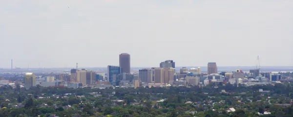
A Summer Spike for the South Australian Capital
Adelaide residents should prepare for a significant temperature jump this Tuesday, February 10, 2026. After a relatively mild start to the week, the mercury is set to climb sharply, bringing a taste of peak summer heat to the metropolitan area. While no severe weather warnings are currently in place, the dry conditions and rising temperatures will make for a scorching afternoon across the plains and the hills.
Morning: A Crisp Start Before the Climb
The day will begin on a refreshing note with an overnight low of 14°C. Sunrise is scheduled for 6:43 AM, offering a brief window of cool air for those looking to get an early start on outdoor activities. The sky will initially be clear, but as the morning progresses, scattered clouds are expected to develop. By 10:00 AM, the temperature will already be rising into the mid-20s, signaling a rapid transition into a hot summer day. Humidity levels will start moderate but will drop as the sun climbs higher.
Afternoon: Peak Heat and Scattered Clouds
The mercury is forecast to peak at a high of 34°C (approximately 94°F) during the mid-afternoon, likely between 2:00 PM and 4:00 PM. Despite the high temperatures, the air will remain quite dry, with humidity levels bottoming out at around 32%. Scattered cloud cover will persist throughout the afternoon, which may offer intermittent shade, though it will do little to suppress the overall heat. Winds are expected to remain light and variable, averaging around 8 km/h from the north-northeast, providing very little in the way of a cooling breeze for coastal suburbs.
Evening: Pleasant Conditions for Outdoor Dining
As the sun sets at 8:15 PM, the intense heat of the day will begin to dissipate. The evening looks to be exceptionally pleasant for outdoor dining or a stroll along the metropolitan beaches. With a 0% chance of precipitation throughout the day and night, there is no risk of rain interrupting evening plans. The temperature will gradually descend back toward a comfortable overnight low, though the thermal mass of the city may keep suburban areas warmer for longer.
Safety and UV Outlook
While the Bureau of Meteorology has not issued any formal wind or rain alerts, the UV index is expected to reach a moderate to high rating. Residents are encouraged to apply sunscreen and wear protective clothing if outdoors for extended periods, as the scattered cloud cover can be deceptive. Looking ahead, Tuesday appears to be the peak of the current heat pulse, as a change is expected on Wednesday with increased cloud cover and a 49% chance of late-day showers.

Lunar New Year Festivities and Galactic Adventures Lead Today's Events in Adelaide
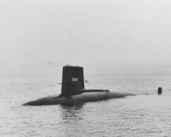
Submarines, Swing, and Summer Heat: Your Tuesday Morning Briefing
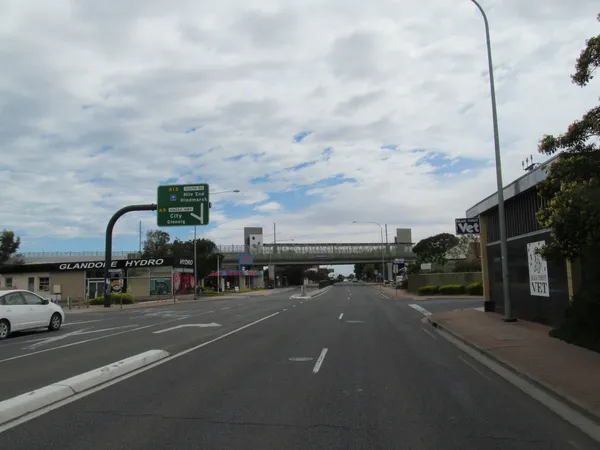
Adelaide Traffic Alert: New Stop Closures on Findon Road and Major Intersection Delays
