Adelaide’s Easter Sunday: Warm Temps and Late Morning Showers Predicted

A Mixed Bag for Easter Sunday
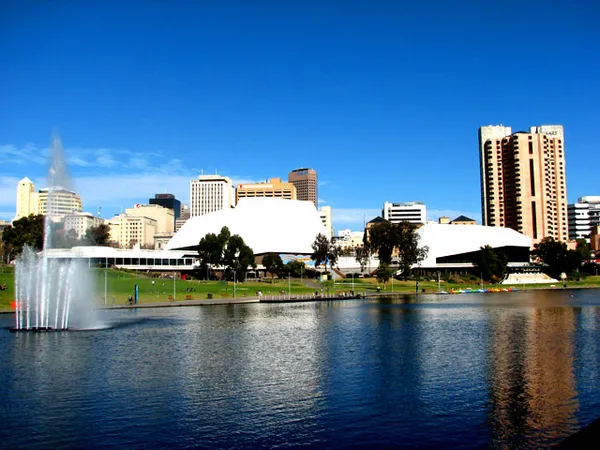
Residents across Adelaide should prepare for a shifting weather pattern this Easter Sunday, April 5, 2026. While the day is set to start with relatively mild and calm conditions, the Bureau of Meteorology has issued a high chance of showers as the morning progresses. With many families planning outdoor Easter egg hunts and holiday gatherings, the timing of today's rainfall will be a critical factor for local festivities. Lead meteorologists have noted that while the city won't be a total washout, umbrellas will definitely be a necessary accessory for anyone heading out after 10:00 am.
Morning: A Calm and Humid Start
The early morning hours in Adelaide will feature partly cloudy skies and a minimum temperature of approximately 17°C. Winds are expected to be light and variable during the dawn hours, primarily coming from the east to northeast at 15 to 20 km/h before settling. This initial calm provides a brief window for early outdoor activities. However, humidity levels are sitting near 56%, and cloud cover is expected to thicken rapidly by the mid-morning. Those heading to early church services or sunrise events can expect dry conditions, but should keep an eye on the horizon as the high-pressure system begins to shift.
Afternoon: Showers and Peak Warmth
As we move into the afternoon, the temperature is expected to climb to a maximum of 26°C. Despite the warmth, the chance of rain jumps to a significant 80%. Showers are most likely to commence in the late morning, specifically between 11:00 am and 1:00 pm. Predicted rainfall amounts are currently modest, ranging from 0 to 5 mm, but the Bureau warns that isolated heavier bursts are possible. Winds will remain steady from the east to northeasterly direction, reaching up to 20 km/h. Meteorologists have also issued a cautionary note regarding the warm temperatures; with the mercury hitting the mid-20s, there is a literal risk of Easter chocolate melting if left in the sun before the clouds fully take over.
Evening: Overcast Skies and Cooling Conditions
By the evening, the shower activity is expected to taper off, leaving the city under a thick blanket of overcast clouds. The temperature will begin its descent back toward a low of 17°C overnight. While the immediate threat of heavy rain diminishes after sunset, the chance of a lingering light drizzle remains at approximately 20%. Conditions will stay humid, making for a relatively muggy end to the holiday weekend. Wind speeds are forecast to drop, becoming light and variable once again as we head into Monday.
Safety and Sun Protection
Despite the predicted cloud cover and rain, sun safety remains a priority for the first half of the day. The following alerts and recommendations are in place for Sunday, 5 April:
- Sun Protection: Recommended between 9:20 am and 3:10 pm. The UV index is expected to reach moderate levels despite the overcast afternoon.
- Rainfall Warning: An 80% chance of showers is forecast, primarily for the metropolitan area.
- Fire Danger: The Mount Lofty Ranges currently hold a Moderate fire danger rating; however, no specific bans are in place for the Adelaide Metropolitan area due to the incoming moisture.
Science Art and Center-Stage Hits: What’s On in Adelaide Today
Footy, Festivals, and Freedom: Your Adelaide Morning Briefing
Major CBD Road Closures Expected Tonight for Good Friday and Gather Round Events